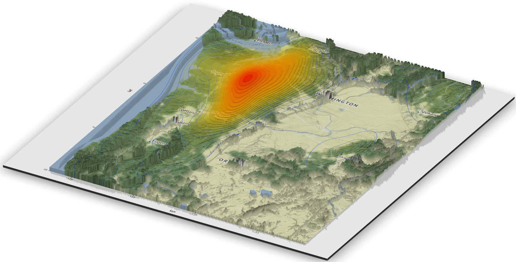
2-D Density Map of Bigfoot Sightings
Data visualization is an important element of the data science process and the broader data presentation architecture discipline. This post will focus on performing some basic spatial data analysis using Bigfoot sightings in North America and the R language for statistics and visualization.